Yunnan Province, lies on China's southern border, is located in the southwestern part of the country, roughly, east to west. Yunnan lies on a subtropical latitude, with the Tropic of Cancer running across its southerly reaches.To the west lies Myanmar; to the south, Laos; to the southeast, Vietnam; to the east, China's Guangxi Zhuang Autonomous Region (aka Guangxi Province); to the east-northeast, China's Guizhou Province; to the north, China's Sichuan Province; and to the northwest, Tibet Autonomous Region.
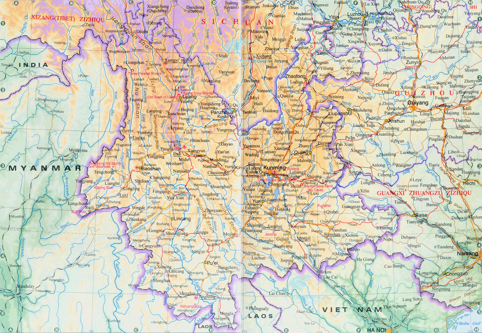
The nan of Yunnan means "south" while the Yun of Yunnan refers to the Yun Ling Mountains, or the Yun Range to be more correct, as ling means "range". This irregular-shaped province is nearly as "wide" (measured east to west) as it is "tall", or about 900 kilometers by 900 kilometers. Like Xinjiang Uyghur Autonomous Region, or Xinjiang, for short, Yunnan Province is surrounded by one of the largest number of political (foreign) and administrative (domestic) entities in China (Xinjiang has the distinction of being surrounded by the largest number of foreign countries among all of China's provinces and regions).
You can click
here to see the larger map


 Ask Questions ?


